Time: 1 hour 42 minutes
It's a brilliant sunny day in Bellingham! After a long hike yesterday, we decide to make it a short walk today, exploring two connector trails from the south-side. Raney and I are joined today by my two younger daughters.
 |
| Hiking up Road 2000. |

As usual, we start from the Padden Trails parking lot on Samish Way, and head to the kiosk labeled Checkpoint Alpha. (See directions to Galbraith access points.) We arrive at the kiosk at 0.6 miles, 11 minutes from the trailhead.
 |
| Northward bound past the Checkpoint Alpha kiosk. |
Continuing up Road 2000, we reach Blue Rock junction at 1.4 miles, 26 minutes. This is where Road 3000 splits off to the right. We stop here for a couple of minutes, catching our breath and cooling off in the shade. We proceed on Road 2000 which is the left fork in this junction. In a few steps, we pass the Checkpoint Charlie kiosk.
 |
| Taking a break at the Checkpoint Charlie kiosk. |

A half mile later, we turn left on Road 2400. Road 2400 gradually peters out into The Wall trail, also known as the Upper WHIMPS Connector. The trail starts descending as it works its way westward. It drops about 300 feet in elevation over about half a mile.
 |
| Heading left to Road 2400, towards The Wall. |

We come to the road junction at Checkpoint India at 2.5 miles, 54 minutes.

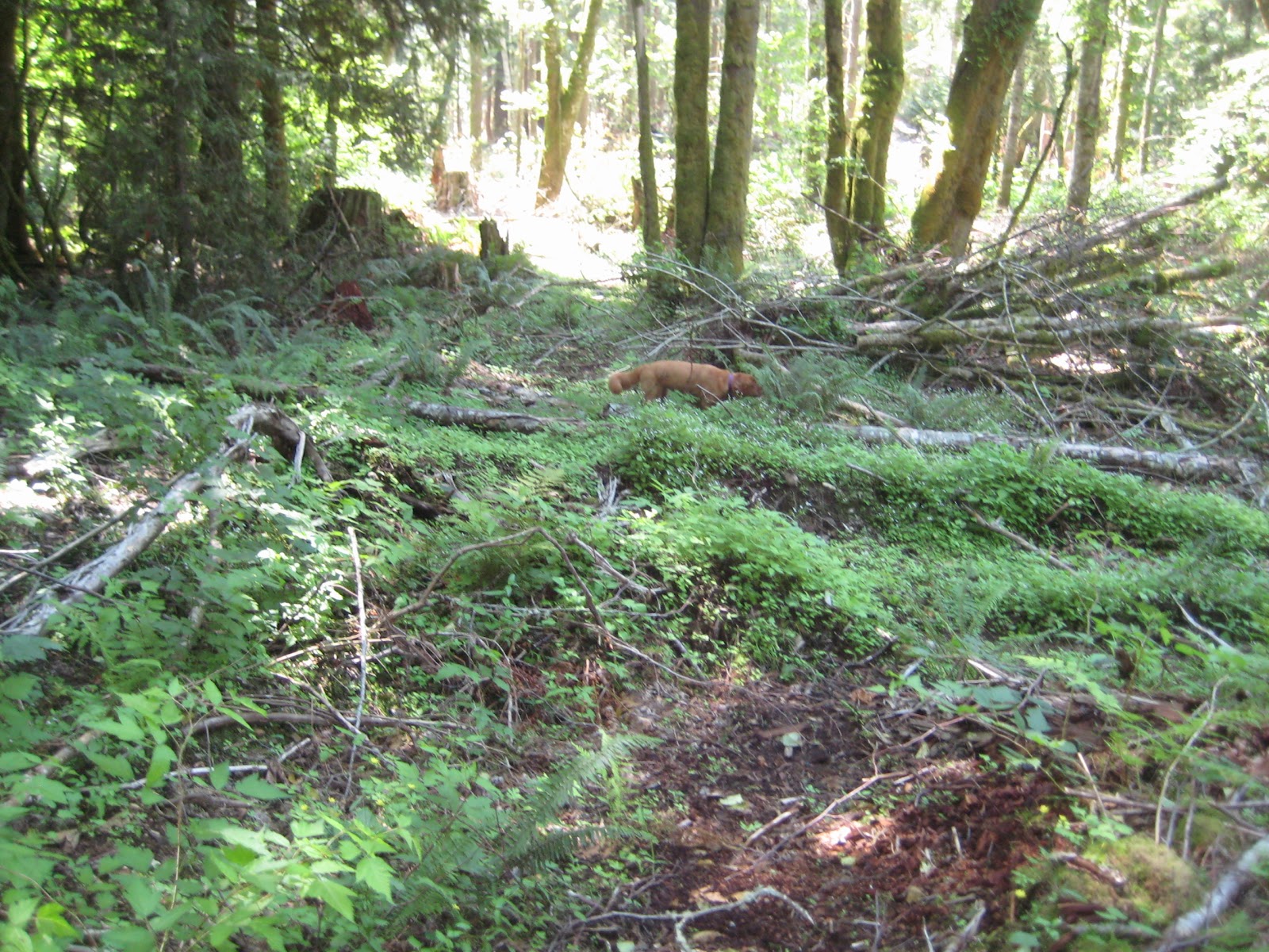
The plan now is to head back southward on the Muddy Connector, also known as the Lower WHIMPS Connector. This trail, ascending in this direction, lives up to its name; we're frequently skirting around puddles on the way up. It is also choked with piles of branches from recent logging. It's unrideable for bikes right now, and it will be a significant amount of work to make the trail passable again.
 |
| Muddy Connector heads back southward from Checkpoint India. |

 |
| Muddy Connector is currently thick with branch piles and puddles. |
At 3.0 miles, 1 hour 8 minutes, Muddy Connector comes out at Road 2200. We can see the lower entrance to Gunslinger on left, which will be one of our next hikes. Today we're going straight and walking by other trail entrances to 911 and Crazy 8s.
On the way we look to see if the orphaned trail Chutes and Ladders is hikeable. We venture into it but it is overgrown and a requires bushwhacking to make progress. Before long we retreat back to Road 2200. (3.2 miles, 1 hour 15 minutes.)
At 3.6 miles, 1 hour 25 minutes, Road 2200 connects back with Road 2000. We turn right and head out. In about 5 minutes we're back at Checkpoint Alpha, and we're back at the parking lot at 4.4 miles, 1 hour 42 minutes.
These are not picturesque trails; they're mainly used as connectors to get up to higher-level trails on Galbraith Mountain.
 |
| The profile shows the steep slope of The Wall at about the 2-mile mark. |
No comments:
Post a Comment